
CONNECTED TECHNOLOGY. CLEARLY EXPLAINED.
METER TEROS 12 and ZL6: a soil-measurement route
Investigate the TEROS 12 → ZL6 measurement route, with medium/calibration context, exact telemetry hardware, distinct logging/reporting timing and accountable agronomic interpretation.
Sensing-route research · By Admin · Checked 18 October 2026. Manufacturer references; no installed sensor network, current India proposal or measured outcome verified.
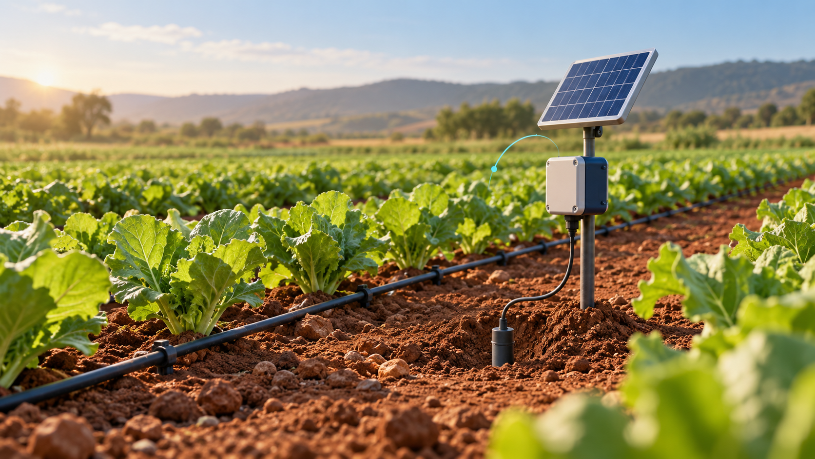
TEROS 12 with a compatible ZL6 logger is a documented route to investigate for collecting the soil observations in the advisory pilot. Treat the sensor, logger hardware, connectivity and cloud access as separate configuration decisions. This research describes a measurement/data route, not a bundled irrigation-control system.
Specify each layer of the route
Sensor and medium
TEROS 12 measures volumetric water content, temperature and bulk electrical conductivity. The applicable medium and calibration matter. Retain those variables and units as observations; do not relabel a conductivity value as a measured nutrient concentration.
Logger and telemetry variant
The ZL6 reference offers cellular or Wi-Fi hardware routes. Confirm the supplied model/module and regional coverage. ZL6 Basic and Pro are separate variants; their names are not interchangeable evidence for the selected logger’s inclusions.
Interpretation and ownership
A measurement record and chart do not by themselves provide a crop-specific irrigation instruction. The responsible grower or agronomist must own interpretation, the authorised action and the local procedure if remote data is unavailable.
Map the sensor record to a usable observation
1 · Define the observation points
Use the advisory pilot’s zone and point IDs, relevant soil/media description, crop stage and depth context. Agree what the team must observe before choosing the number of sensors. Retain field access and installation responsibilities.
2 · Install and check the sensor
Use the exact TEROS installation and calibration guidance for the intended medium. Record sensor identity, soil contact and the reference-check method. Verify plausible behaviour after installation or disturbance; manufacturer accuracy wording is not proof of a particular field installation.
3 · Verify the logger interface
The TEROS page documents ZL6 compatibility and SDI-12 use with other loggers. For the actual proposal, verify connector/cable arrangements, supported readings, power and configuration. A protocol label alone does not establish compatibility with an arbitrary controller or custom board.
4 · Separate logging and reporting
The ZL6 page separates sensor logging from cloud reporting and notes that more frequent reporting can carry additional charges. Obtain the exact schedules and entitlements. A recent local observation and the latest remotely visible value may have different timestamps.
5 · Exercise access and recovery
The documented ZL6 route includes local storage and USB retrieval alongside the selected remote upload method. Rehearse the agreed interruption and recovery process. In the proposed cloud account, demonstrate role access, exported observations, metadata and the treatment of gaps or corrections.
6 · Review and record the decision
Associate the observation with weather and actual application context. The named reviewer records their irrigation decision and reason under the existing local procedure. Keep field maintenance and follow-up observations in the same pilot record; no automatic pump command is established by this sensing route.
Keep calibration and measurement claims specific
The TEROS documentation distinguishes generic and medium-specific calibration context. Identify the calibration used, the intended soil/media and any stated conditions in the supplied documentation. This page does not report an independent accuracy verification, field life, drift result or successful irrigation outcome.
Select the exact logger and service
Confirm the ZL6 hardware, radio module, supported operating region and current cloud offering in one written bill of materials. The referenced software page is labelled ZENTRA Cloud classic; verify the product/account version actually proposed. Do not infer a current plan or support period from a similarly named variant or older quotation.
Make time and power visible
Request the measurement/logging schedule, remote reporting schedule, local retention, power arrangement and expected service under the actual field conditions. Demonstrate the agreed outage case. A solar panel or advertised record capacity does not establish uninterrupted operation for every sensor configuration and season.
Ask what is actually exported
Demonstrate a sample record with point and sensor identity, depth/context, units, observation and receipt times, quality flags and the applicable calibration metadata. Confirm the available file/API route, account permissions and retention. Keep measured bulk EC distinct from any separately calculated or interpreted agronomic indicator.
Price and maintain the full route
Obtain a current regional proposal for sensors, cables, mounting, logger/module, power, cloud/connectivity, reporting frequency, installation, reference checks and field support. Establish replacement and end-of-service arrangements. No current India price, stock, local installer or service-level commitment is verified here.
Retain the local irrigation process
Use the soil-moisture advisory pilot to define data coverage, context-complete reviews, actual application evidence and maintenance effort. Any later pump/valve integration remains a separately designed and tested interface. No water-saving percentage, yield gain or ROI is reported.
Prepare the requirements discussion
Prepare a private requirements enquiry describing the zone, measurement need and who will interpret it. An unlisted provider can be named in the non-confidential brief. Admin reviews the request; onward sharing is optional and no provider is contacted automatically.
Sources and independence
The sources support sensor, logger and referenced software descriptions. They do not establish a supplied package, local deployment or IoTPapa partnership. Procurement and pilot checks above are original evaluation questions.
METER TEROS 12 model reference
ZENTRA Cloud classic reference
Connect sensing to an advisory pilot
USE CASE
Soil-moisture advisory pilot
Define representative observation points and a traceable irrigation decision.
PROVIDER
METER Group provider context
Separate instruments, collection/software and interpretation responsibilities.
PRIVATE ENQUIRY
Prepare a private requirements enquiry
Describe the observation, field data route and service needs for Admin review.